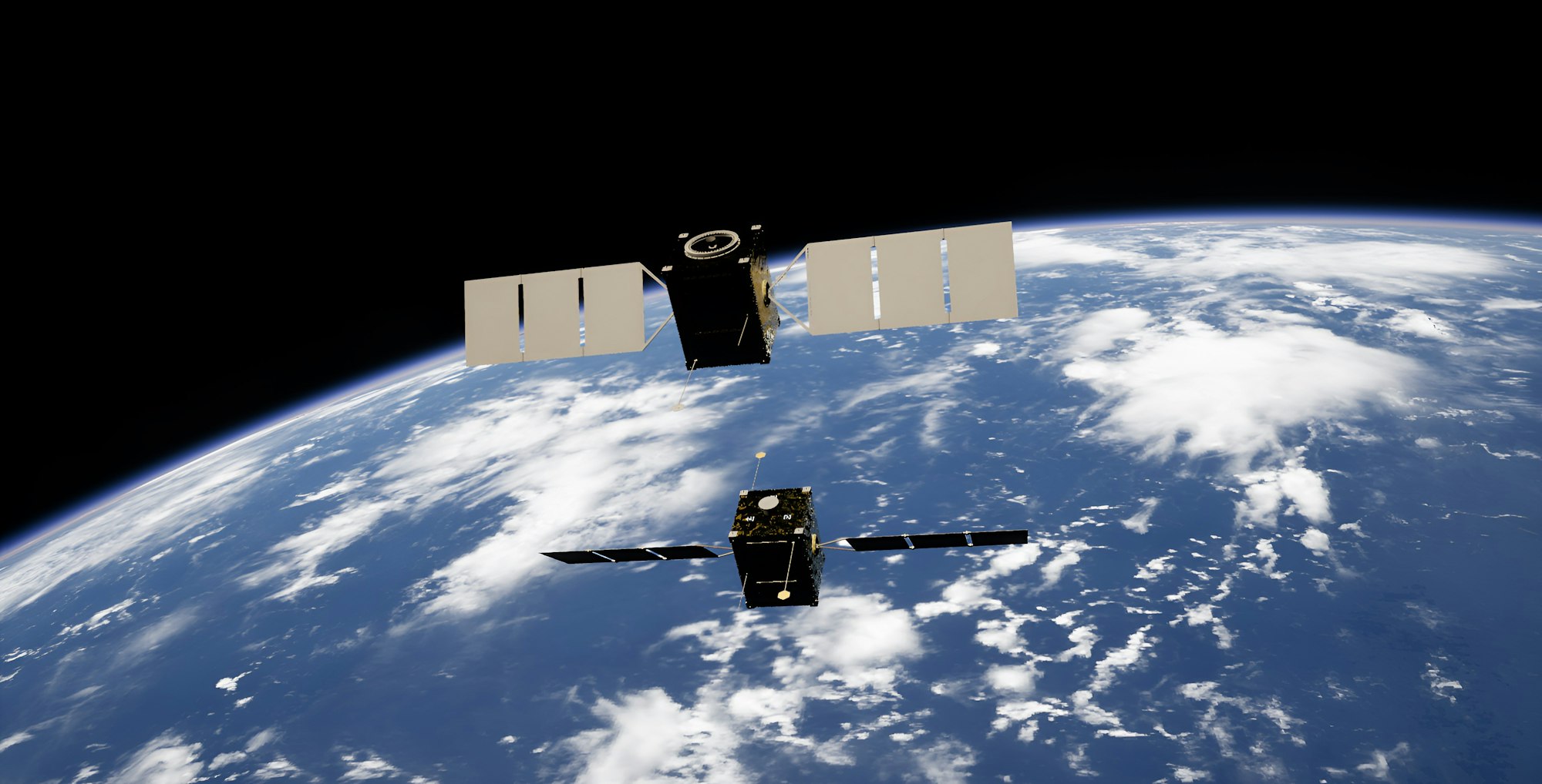
Earth observation and spatial data
ONE SKY
Seeing the territory from orbit to decide on the ground. ONE SKY puts satellite imagery and advanced mapping to work for urban planning, agriculture, resource monitoring and critical infrastructure surveillance.
What it does
- Earth observation & satellite imagery
- Advanced mapping & territorial analysis
- Environmental monitoring & smart agriculture
- Natural resource & natural hazard monitoring
- Critical infrastructure surveillance
- Support for public policy, urban planning, security, transport, logistics