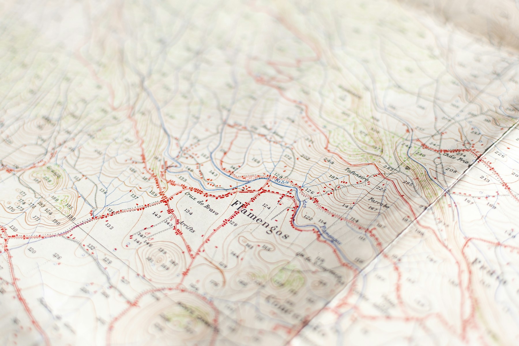
Mapping and territorial intelligence
UPMaps
Knowing where the vehicles, merchants and service points are — and what that says about the territory. UPMaps serves equally to optimise a round, carve out franchise zones or inform a development project.
What it does
- Geolocation of users, drivers, couriers, vehicles, service points
- Mapping of activity zones
- Route optimisation
- Territorial sectorisation & franchise zones
- Demand catchment analysis
- Location of merchants & providers
- Infrastructure mapping
- Support for development projects
- Territorial data visualisation